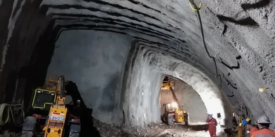
Sunderland's industrial expansion from the 18th century onwards reshaped the banks of the River Wear, leaving a complex legacy of made ground, historic mine workings, and natural glacial deposits that directly impacts modern tunnelling. The city's topography, carved by the Wear gorge cutting through the Durham Magnesian Limestone Plateau, presents a challenging sequence of stiff boulder clays overlying softer alluvial silts and sands. When a tunnel alignment passes through the transition zone between the permeable limestone and the saturated alluvium of the river valley, the ground behaviour shifts dramatically within a few metres. Our geotechnical analysis for soft soil tunnels focuses on characterising these rapid lithological changes, because a tunnel boring machine calibrated for glacial till will struggle instantly upon hitting a buried channel of soft organic silt. The historic 1836 Monkwearmouth railway bridge and adjacent tunnels are a testament to early engineering on these very soils, but modern designs demand a far more rigorous understanding of undrained shear strength and groundwater pressure that only a targeted ground investigation can provide.
In Sunderland's variable ground, the difference between a stable tunnel face and a collapse is often just 15 kPa of undrained shear strength, something only a site-specific geotechnical analysis can quantify reliably.
Regional considerations
Sunderland sits at an elevation ranging from sea level at the Port to over 80 metres on the plateau edges, and this steep gradient concentrates groundwater flow along the limestone-alluvium interface, creating localised artesian conditions that have flooded excavations. The city's long coal mining history adds another layer of risk: unrecorded bell pits and shallow workings from the 19th century pepper the area around Hylton and Castletown, capable of collapsing under the stress relief of a tunnel boring operation. A tunnel face striking a flooded mine void can lose all support pressure instantly, leading to catastrophic inflow and surface cratering. Our geotechnical analysis for soft soil tunnels includes a desk study of historical mining records from the Coal Authority, cross-referenced with geophysical surveys and probe drilling ahead of the face, to flag these hazards before the TBM reaches them. Ignoring the mining legacy means accepting a residual risk that no amount of face pressure can mitigate.
Quick answers
What is the typical cost of a geotechnical analysis for a soft ground tunnel in Sunderland?
A full geotechnical analysis for a soft ground tunnel project in Sunderland, covering a desk study, targeted ground investigation with laboratory testing, and a design parameter report, typically ranges from £3.460 to £14.360 depending on the tunnel length and the complexity of the ground conditions. Shorter alignment investigations with a limited number of boreholes fall at the lower end, while longer tunnels through variable glacial till and alluvium with extensive triaxial testing and finite element back-analysis sit at the higher end.
How do you handle the risk of encountering old coal mine workings under Sunderland?
We start with a detailed desk study using Coal Authority mining reports and historical mine abandonment plans specific to the Sunderland area. This is followed by rotary probe drilling ahead of the tunnel face and cross-hole seismic tomography to detect voids. If a void is identified, we assess its stability using the scaled span method and recommend either grouting from surface or controlled collapse and re-excavation, depending on the void geometry and proximity to the tunnel crown.
What laboratory tests are most critical for designing a tunnel in soft ground?
For soft ground in Sunderland, the most critical laboratory tests are consolidated-undrained (CU) triaxial tests with pore pressure measurement to establish effective stress shear strength parameters, and incremental load oedometer tests to define the compression index and pre-consolidation pressure. These are combined with index tests like Atterberg limits and particle size distribution to correlate with the triaxial data and build a solid geotechnical model that captures the brittleness of the glacial till and the compressibility of the alluvial silts.