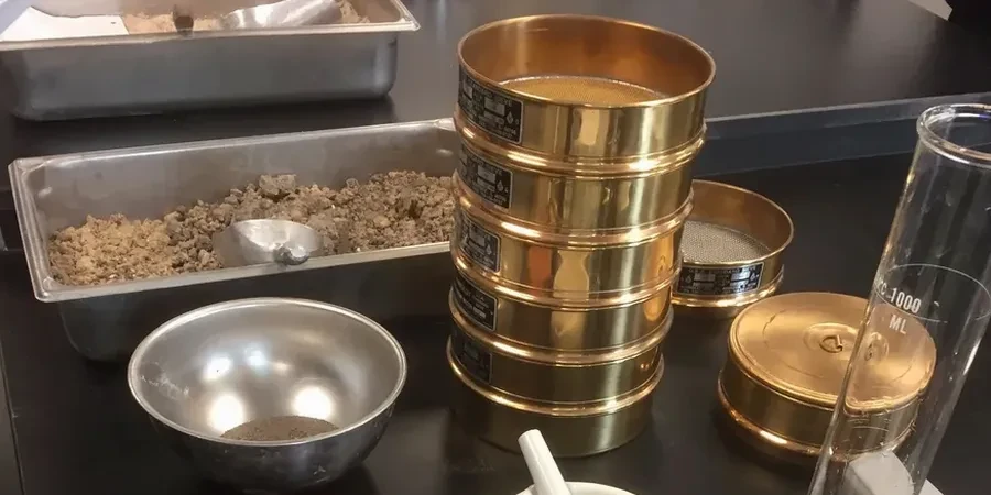
Sunderland’s geology is a battle between the River Wear and the North Sea. You get coarse river terrace gravels near the Stadium of Light one day, and fine marine silts down by the Port the next. This contrast means a standard sieve-only test is often useless for proper classification. The team here runs the combined sieve and hydrometer analysis as a matter of routine, because the glacial till and laminated clays found across the city demand the full particle size distribution curve. Without the hydrometer fraction, you miss the fines that control drainage and frost susceptibility in the local boulder clay. We operate under BS 5930 for sample preparation and BS EN ISO 17892-4 for the hydrometer sedimentation procedure, ensuring the data holds up under Eurocode 7 design checks. For deeper strata where gravels dominate, we often pair this with an S-P-T drilling campaign to correlate grain size with standard penetration resistance.
A sieve without a hydrometer in Sunderland's glacial till gives you half the story—and the missing half is usually the one that fails.
Regional considerations
The soil profile changes radically from the limestone-derived clays of Ashbrooke to the alluvial silts of the Hendon waterfront. A foundation designed on Ashbrooke's stiff clay will be dangerously over-designed or, worse, completely inappropriate for the softer, poorly graded silts near the old shipyards. The real headache comes with internal erosion risk. A poorly graded fine sand from the river terrace might look competent in a sieve stack, but the full hydrometer curve often reveals a gap-graded structure susceptible to suffusion under high groundwater flow. Ignoring the clay fraction in a Sunderland brownfield site isn't just a paperwork error—it leads to misclassifying a potentially collapsible soil as a granular fill, creating a differential settlement nightmare between party walls. We've seen it happen where contractors treated everything north of the Wear as generic sand, missing the laminated clay lenses entirely.
Quick answers
Why can't I just use a sieve analysis for the sandy soils near the coast?
Sunderland's coastal sands are rarely clean. Marine and estuarine deposits contain significant silt and clay fractions that act as a binder, affecting the angle of friction and permeability. A sieve stack stops at 63 µm, leaving you blind to the fines that control consolidation time. Even if the sand looks clean, a hydrometer run is needed to check for clay flocculation that could cause problems during piling.
How long does a full sieve and hydrometer test take in the lab?
From sample receipt to a signed PDF report, you're looking at 3 to 4 working days. The hydrometer sedimentation readings take a full 24 hours. We can't rush the physics—the Stokes' Law settling time is fixed. We do run an overnight shift if the site in Hendon is waiting on rigs, but the sample needs that full cycle for accurate silt and clay differentiation.
What is the typical cost for a combined grain size analysis in Sunderland?
For a standard combined test (sieve stack plus hydrometer) on a single sample, prices range from £80 to £140 depending on the number of sieve sizes requested and whether the sample requires pre-treatment for organic content removal. Bulk discounts apply for large ground investigation contracts.
Can you test samples with gravel larger than 75 mm?
Yes, we can process cobbles and boulders up to 200 mm. We follow the BS 5930 procedure for oversized particles: the coarse fraction is separated, weighed, and the fine fraction is sub-sampled for standard sieving and hydrometer. The final curve is mathematically recombined to reflect the true field grading, which is common for the river terrace deposits near the Wear bridges.
Do you use a pipette or a hydrometer for the fine fraction?
We use the hydrometer method (152H) as our primary technique, as specified in BS EN ISO 17892-4. For research projects or when a very precise clay fraction is needed for dispersivity assessment, we can also perform the pipette method, but the hydrometer gives the continuous curve needed for standard geotechnical design and is far more common for commercial work in the North East.